Map
GTA 6 map size, counties and all named regions
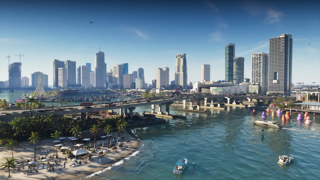
Image: Rockstar Games
GTA 6's Leonida map covers about 175 km² (67.5 sq mi), roughly 65% land, split into five counties: Mariana, Vice-Dale, Kelly, Leonard and Lummox.
The GTA 6 map of Leonida covers about 175 km² (around 67.5 square miles) and is divided into five counties.
Map size
- About 16 km tall and 10.9 km wide (roughly 10 by 6.75 miles)
- Around 65% land and 35% water
- Many buildings can be entered, and some skyscrapers have several floors reachable by elevator
Travel times across the map
Measured from the southernmost reachable land to the northernmost point:
- Walking: about 3 hours 21 minutes (GTA V takes around 2.5 hours)
- Running and sprinting: about 1 hour 41 minutes, slowed by the stamina bar that limits full-speed sprinting (GTA V takes about 30 minutes)
- Driving a mid-range sedan on highways at top speed: about 10 minutes 53 seconds (GTA V takes about 8 minutes)
- Flying a prop plane: about 5 minutes 51 seconds
On foot, the southern islands force you to follow the highways at first, and alligators and steep cliffs may require small detours.
Mariana County (south)
- Key areas: Mile Zero Air Station, Southwind, Riquezas Keys, Permit Keys, Maroon Key, Abismo Key, Key Lento, Shoeless Keys, Corsair Key, Bobcat Key, Capri, Belpoint
- Water and swamp areas: Leonida Bay, Gambit Bay, Peregrine Bay, Leonida Straits, Pelican Valley swamps, Cottomouth Lake, Wetman Bay, Gullet Marsh, Pelican River, Watson Bay, Bobcat Bight, Grassrivers, Tola Bay, Tortoise Lake, Capri Sound, Gulf of Leonida, Nehrling River
Vice-Dale County (main city)
- Vice City districts: Hamlet, VCIA, Southside, Peacock Bay, Tequesta, Tequesta Retreat, Downtown, Little Cuba, Salton, Rockridge, Crosstown, Bayside, La Perle, Balsero, Stockyard, Decor District, Leaf Links
- Islands and coast: Rialto Islands, Starfish Island, Waxman Island, Port Vice City, Catalan Bay, Catalan Key, Gloriana Key, Dalton Island, Vice Beach, Ocean Beach, Washington Beach
Kelly County (north-west)
- Buckskin Swamp, Emerald River, Emerland Springs, Gellhorn, Port Gellhorn, Wild Hog Point, Borrachero Sound, Crude Islands, Sandbars, Draper Island, Draper Bay, Frogswater, Manifest Canyon
Leonard County (north-east)
- Belville, Waning Sands, Leith River, Lake Leonida, Richard Barebone State Park, Little Hardin Island
Lummox County (north)
- Zephyr Islands, Mount Kalaga National Park, Grayson, San Malo Bay, Featherstone Islands, Bonanza, Okchioha Bay, Moreau, MacAlister Gold Mine, Saint Attaway Islands, Hyde Island, Moreau River, Partridge Bay, Frampton Islands, Lake Tallaloko, Kalaga Reservoir, Dawson Dam, Millport, Millport Basin
Map icon counts
- 39 Gang Operations, 22 Bank Jobs (14 small, 8 vaults), 7 Payday Loans, 35 Smash ‘n’ Grabs
- 14 Mod Shops, 19 Pay ‘n’ Sprays, 57 Gas Stations, 6 Car Washes, 12 Garages
- 24 Ammu-Nations, 25 Train Stations, 2 Ferry Terminals
- 67 Clothing Stores, 17 Footwear Stores, 18 Hair and Beauty Salons, 11 Tattoo Studios, 15 Electronics Stores
- 72 Convenience Stores, 21 Fast Food Stores, 87 Cafes and Takeout, 14 Liquor Stores, 122 Bars, 118 Street Food Vendors
Send us a screenshot of this from your own game. We check it and show it on this page with your name, so other players know the guide works.
Send a screenshot in TelegramWhat changed (1)
- added walk, run, drive and flight times across the map (source: kotaku.com)
Found something different in the game? Write to [email protected] with a screenshot, and we will check it against our sources and update this page.